
Colorir cada região
A intensidade da cor carrega o valor. A escolha certa para taxas, proporções e números per capita, já ajustados ao tamanho ou à população.
Abrir o modeloA blank California county map to print, and a builder to fill it with your own data. Download the free outline of all 58 counties, or upload a spreadsheet and publish an interactive California map you can embed anywhere.
Todos os 58 counties, em traço limpo. Imprima, pinte ou insira em um documento — sem conta e sem atribuição.
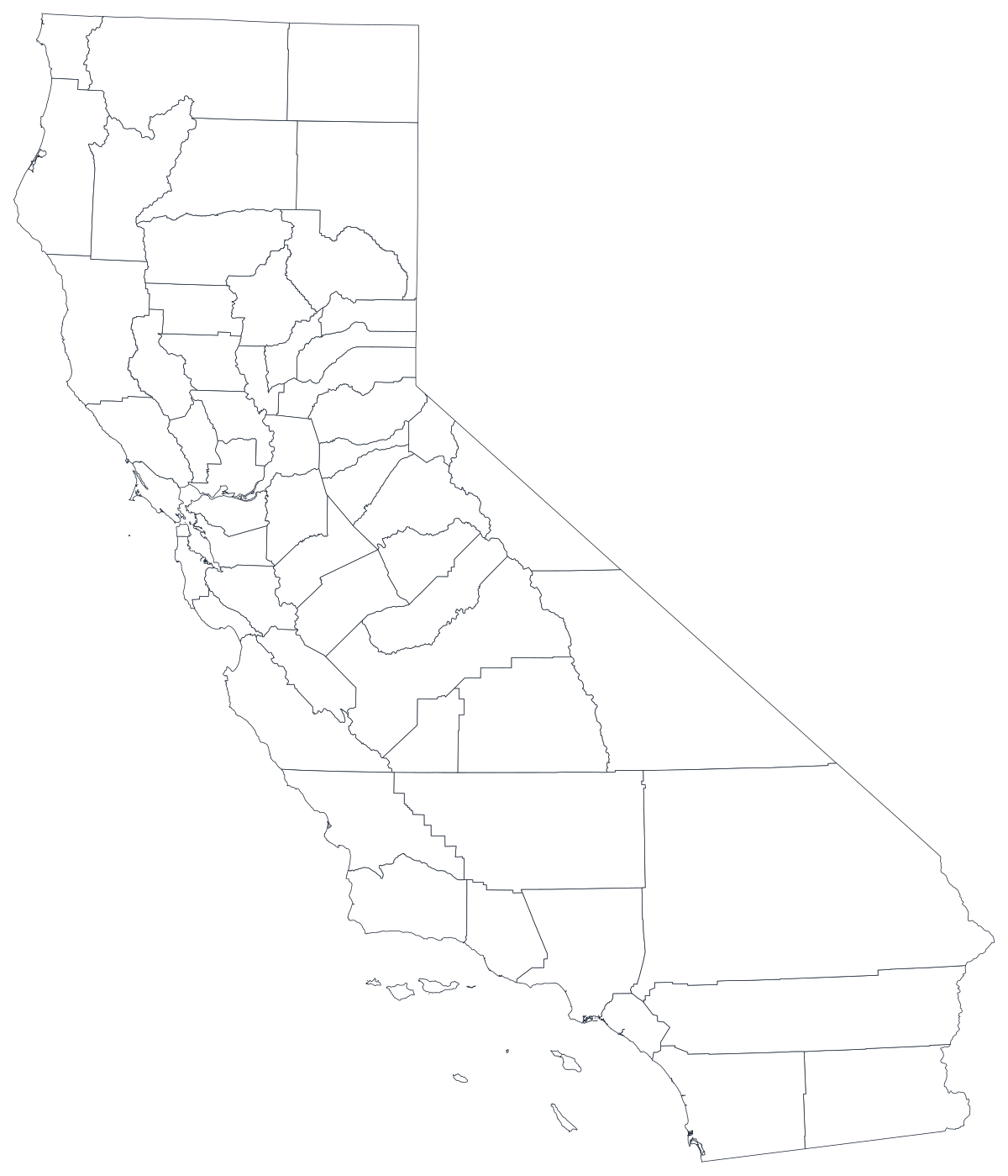
Livre para qualquer uso, inclusive comercial e escolar. Gerado a partir dos mesmos limites usados pelo editor.
Baixar SVGCalifornia divides into 58 counties, and nearly everything the state publishes — unemployment, housing costs, water use, test scores, wildfire acreage, election returns — is released at that level. It is also the hardest state in the country to map honestly, because the counties are wildly unequal in both directions. Los Angeles County alone holds around a quarter of the state's people in a middling-sized shape, while San Bernardino County is larger than nine states and holds a fraction as many. Any California map has to decide which of those two imbalances it is going to let the reader see, and a county map is the only unit at which both are visible at once.
Colora as regiões quando o número for uma taxa; dimensione um marcador quando for uma contagem. Inverter isso é a maneira mais comum de um mapa enganar.
A intensidade da cor carrega o valor. A escolha certa para taxas, proporções e números per capita, já ajustados ao tamanho ou à população.
Abrir o modeloUm símbolo por região, escalado pelo valor. Use para contagens e totais, em que colorir a área apenas redesenharia o mapa da população.
Abrir o modeloCírculos dimensionados pelo valor sobre o contorno. Funciona bem quando poucas regiões dominam e as pequenas sumiriam em uma cor chapada.
Abrir o modeloCDPH health indicators, EDD labour figures, Department of Education test and enrolment data, Secretary of State election returns and Department of Finance population estimates are all published by county.
Unemployment rate, share of renters, uninsured share, share of the vote, median home price. Rates already account for how many people live there, which is what shading a region needs.
California's real divisions run inland from the ocean, not north to south. A county map puts the Bay Area, the Central Valley, the southern metros and the sparse far north on the same picture, where the difference between them is a thing the reader can see.
Classroom exercises, sales-territory mark-ups, planning workshops, colour-by-hand worksheets. The free outline above prints cleanly at any size.
Shade by a raw count and Los Angeles County wins every time, by a margin that leaves no colour left for anywhere else. Use symbols or bubbles sized by the count instead.
Los Angeles County contains 88 cities, and the Bay Area spreads across nine counties. City figures forced onto county shapes describe a place that does not exist.
Housing costs, air quality and income vary more within Los Angeles County than they do between most pairs of counties. If that is the story, map tracts or ZIP codes, not counties.
A map with forty grey shapes and eighteen coloured ones is a worse bar chart. If coverage is patchy, rank the counties you do have.
Da planilha ao mapa publicado, passo a passo.
The free outline above is a plain SVG of all 58 counties — print it, or drop it into a document. To build with data, open the PlotSet California (counties) template, which comes with sample data already bound.
One row per county: the county name or its five-digit FIPS code in the first column, your number in the second. FIPS codes for California all begin 06.
Import a CSV or Excel file, paste from a spreadsheet, or connect a Google Sheet so the map can be refreshed when the source updates.
Shade the counties for a rate, or switch to symbols or bubbles for a count. Same geography, same data, different encoding.
Sequential for a low-to-high measure, diverging only when a real midpoint exists — the state average, zero change, a 50 per cent line. Four to six steps read more precisely than a smooth gradient.
Publish for a live interactive map with a tooltip on every county, or export a PNG, SVG or PDF for a report or a deck.
Comece pelo modelo de California com os dados de exemplo e depois troque pelos seus.
Abrir o modeloComo deve ser a coluna de lugares e onde encontrar dados que já combinam.
The joins that fail are the three Santas — Santa Barbara, Santa Clara, Santa Cruz — and the two-word Spanish names: Del Norte, El Dorado, Contra Costa, San Luis Obispo. Sierra and Siskiyou are different counties, and so are Lake and Lassen.
The state code is 06, so 06001 is Alameda and 06115 is Yuba. Spreadsheets strip that zero on import and turn a valid code into 6001, which joins to nothing. Set the column to text before you paste.
It is the only consolidated city-county in the state, so San Francisco city figures are already county figures. Every other California city is a fraction of its county and cannot be mapped this way.
Nor is the Bay Area, the Central Valley or the Inland Empire. They are groups of counties, and you have to define which counties you mean before you aggregate — different agencies draw them differently.
The California Department of Public Health, the Employment Development Department, the Department of Education, the Secretary of State and the Department of Finance all publish county tables, as does the Census Bureau's ACS.
In California this is not merely a population map, it is a Los Angeles map. Anything that grows simply because more people live there should be a sized symbol, not a shade.
San Bernardino, Inyo and Kern cover roughly a fifth of the state's area between them and hold a small share of its people. On a shaded map they dominate the picture in proportion to their acreage, which is almost never what the data is about.
It is the single most common cause of a blank California map, and it fails silently: 6037 is not a county code, so Los Angeles simply does not shade. Store FIPS as text.
Population, housing cost and firm counts in California span several orders of magnitude. A linear colour scale puts 56 counties in the lightest bin. Use quantile breaks or a log scale, and label the legend so the reader knows which.
A sequence of hues has no natural order, so readers cannot tell high from low without checking the legend on every county. Use one hue, light to dark.
Yes. The outline above is a free SVG of all 58 California counties — right-click to save it, print it, or drop it into a worksheet or document. No account needed.
Envie uma planilha e publique um mapa interativo em poucos minutos — grátis, sem cartão de crédito.