
为每个区域填色
颜色深浅代表数值。适合比率、占比和人均指标——这些数字已经消除了面积和人口规模的影响。
打开模板Louisiana has parishes rather than counties — 64 of them, and they work exactly like counties everywhere else. Download the free blank outline to print, or upload a spreadsheet and publish an interactive Louisiana parish map you can embed anywhere.
全部 64 个parishes,线条干净的轮廓图。可打印、可填色、可放进文档——无需注册,也无需署名。
任何用途均可免费使用,包括商用与课堂。由编辑器所用的同一套边界数据生成。
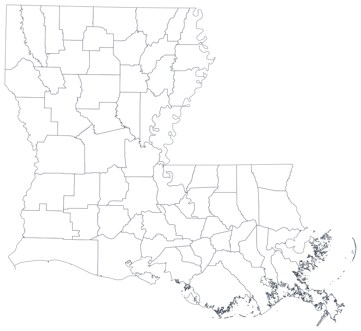
下载 SVGLouisiana is the only state that calls its counties parishes — a survival of the colonial church parishes the territorial legislature adopted as civil divisions in 1807, and the reason a search for a Louisiana county map returns parishes. Functionally they are counties: the Census Bureau treats them as county equivalents, gives them county FIPS codes, and reports the same tables for them as for anywhere else. There are 64. The population sits along an arc from Shreveport down through Alexandria and across the Baton Rouge to New Orleans corridor, with Acadiana around Lafayette to the south-west and a rural, thinning north. The coastal parishes — Plaquemines, Terrebonne, Lafourche, Cameron, St. Bernard — are the ones to think about hardest: they are large on the page, small in population, and their outlines describe a coastline that is genuinely moving.
数值是比率时给区域填色,是计数时用大小不同的标记。把这两者用反,是数据地图最常见的误导方式。
Louisiana Department of Health indicators, Workforce Commission employment figures, Department of Education enrolment and performance data, and Secretary of State election returns are all published by parish.
Flood insurance take-up, uninsured rate, turnout, median household income. A rate is already adjusted for population, which is what shading a region needs.
Storm exposure, land loss, evacuation, insurance and recovery money are all distributed geographically. On a parish map the pattern is the argument; in a table it is a list of names.
Classroom exercises, parish-by-parish planning, colour-by-hand worksheets. The free outline above prints cleanly at any size.
Shade by a raw count and East Baton Rouge, Jefferson and Orleans take the map every time. Use symbols or bubbles sized by the count instead.
Most school systems are parish-wide, but a handful of city systems sit inside them, and New Orleans is the one place where the municipality and the parish are the same thing. Check which you have before flattening it onto parishes.
Parish boundaries in the coastal zone include open water and marsh that has already gone. If you are mapping land loss itself, map the land, not the administrative shape around it.
If the point is how Louisiana sits against Texas, Mississippi or the Gulf as a whole, use the US county map so the reader can see across the state line.
从表格到发布上线,一步一步来。
The free outline above is a plain SVG of all 64 parishes — print it, or drop it into a document. To build with data, open the PlotSet Louisiana template, which loads with sample data already bound.
One row per parish: the parish name or its five-digit FIPS code in the first column, your number in the second. Louisiana FIPS codes all begin 22.
Import a CSV or Excel file, paste from a spreadsheet, or connect a Google Sheet so the map can be refreshed when the source updates.
Shade the parishes for a rate, or switch to symbols or bubbles for a count — which also stops the large, empty coastal parishes from dominating a map about people.
Sequential for a low-to-high measure, diverging only when a real midpoint exists — the state average, zero change, a 50 per cent line. Four to six steps read more precisely than a smooth gradient.
Publish for a live interactive map with a tooltip on every parish, or export a PNG, SVG or PDF for a report or a deck.
从已加载示例数据的 Louisiana 模板开始,再换成你自己的数据。
打开模板地点列应该长什么样,以及去哪里找现成能对上的数据。
People look for a Louisiana county map and find parishes, which is fine — but a chart that labels them counties will look wrong to every reader in the state. The word in your title should be parish.
There are nine of them — St. Bernard, St. Charles, St. Helena, St. James, St. John the Baptist, St. Landry, St. Martin, St. Mary and St. Tammany. Sources disagree on St. versus Saint, and St. John the Baptist gets truncated and re-spaced constantly. Join on FIPS and none of it matters.
East and West Baton Rouge, East and West Feliciana, East and West Carroll are six separate parishes. So are Jefferson and Jefferson Davis. Any of them can be silently collapsed by a partial-match join.
The Louisiana Department of Health, the Louisiana Workforce Commission, the Department of Education and the Secretary of State all publish parish tables, as does the Census Bureau's American Community Survey.
The search term is one thing; the label on the chart is another. Louisiana has parishes, and using the wrong word is the fastest way to lose a Louisiana audience.
It produces a population map every time. Anything that grows simply because more people live there should be a sized symbol, not a shade.
Plaquemines, Cameron and Terrebonne are among the biggest shapes on the map and among the emptiest. A dark colour there covers far fewer people than the same colour over Jefferson.
St. Tammany, Saint Tammany and ST TAMMANY are three different strings. A mismatch leaves a blank parish rather than an error, so check the join count, not just the picture.
A sequence of hues has no natural order, so readers cannot tell high from low without checking the legend on every parish. Use one hue, light to dark.
Parishes. Louisiana is the only state that uses the term — Alaska uses boroughs, and everywhere else uses counties. The Census Bureau treats parishes as county equivalents, so any dataset published by county covers Louisiana's parishes too.
上传表格,几分钟内发布一张交互式地图——免费,无需信用卡。